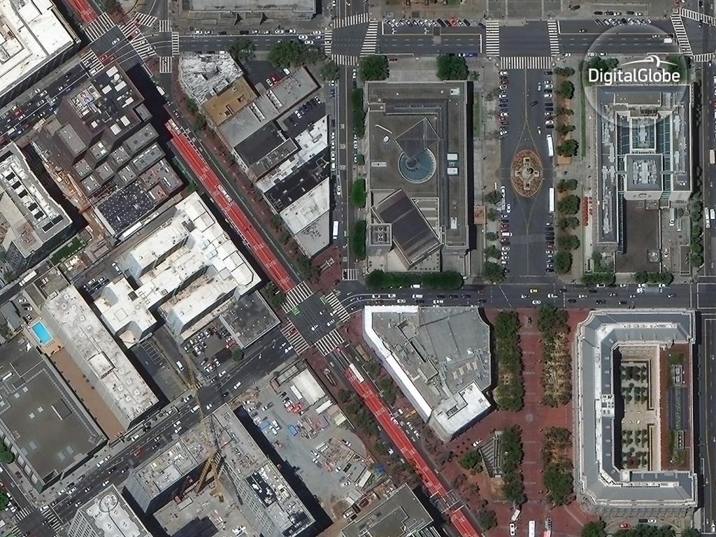
Uber partners with a satellite imaging company to utilize high-resolution satellite images to map routes and find customers better. Image DigitalGlobe
Uber has struck a deal with DigitalGlobe, a satellite imaging company that provides high resolution satellite images to big companies like Google and Apple, to use satellite images to map out locations.
DigitalGlobe announced the deal via a blog post which states that their satellite images would “improve the Uber experience for riders and drivers.” The technology would also improve the identification of pick-up and drop-off locations, reports The Verge.
Uber has been working on its mapping division for some time now with regards to how high-definition maps can be used in their self-driving car project. Alfred Bayle