


5 ways space tech impacts Filipino life, from typhoons to traffic


Discover the space tech from the Department of Science Technology (DOST) and overseas partners
Space may be the final frontier, but for Filipinos, it is already part of the daily commute.
Before heading to work, you might check the weather, look at traffic on Waze, or track your ride home. When a typhoon approaches, you might also follow updates showing where it is headed. These everyday tools rely, in one way or another, on technology operating far above Earth.
For a country frequently hit by typhoons and made up of thousands of islands, satellites have uses beyond space exploration. They help with weather forecasting, disaster monitoring, mapping, agriculture and communications.
The Philippines has also been building its own space capabilities, beginning with Diwata-1, the country’s first Filipino-built satellite, launched in 2016. Today, space technology is increasingly being used to bring information from orbit down to the communities that need it.

1. Satellites are already watching the next typhoon
Before a typhoon reaches the Philippines, meteorologists are already watching it from space.
PAGASA uses Himawari-8 and Himawari-9, Japanese weather satellites that provide new imagery every 10 minutes. The satellite images help forecasters monitor cloud formations, tropical cyclones and other weather systems in real time.
For Filipinos, that means the weather map on our phones is more than a colorful blob moving across the screen. The information helps determine whether a storm is strengthening, where it may move and which areas could be affected.
So while someone is checking their weather app before deciding whether to bring an umbrella, PAGASA is looking at the same storm from a much higher vantage point.
RELATED STORY: Pax Silica: Can the Philippines move up the AI supply chain?
2. Satellites can show where a disaster hits hardest
When floodwaters rise or roads become inaccessible, getting a clear picture of the damage from the ground can be difficult. Satellites offer another view literally.
The DOST-ASTI’s Philippine Earth Data Resource Observation (PEDRO) Center has delivered more than 1,300 satellite images to government agencies since 2016. These images have been used to monitor disasters and emergencies, including typhoons, volcanic activity, the Marawi siege and forest fires.
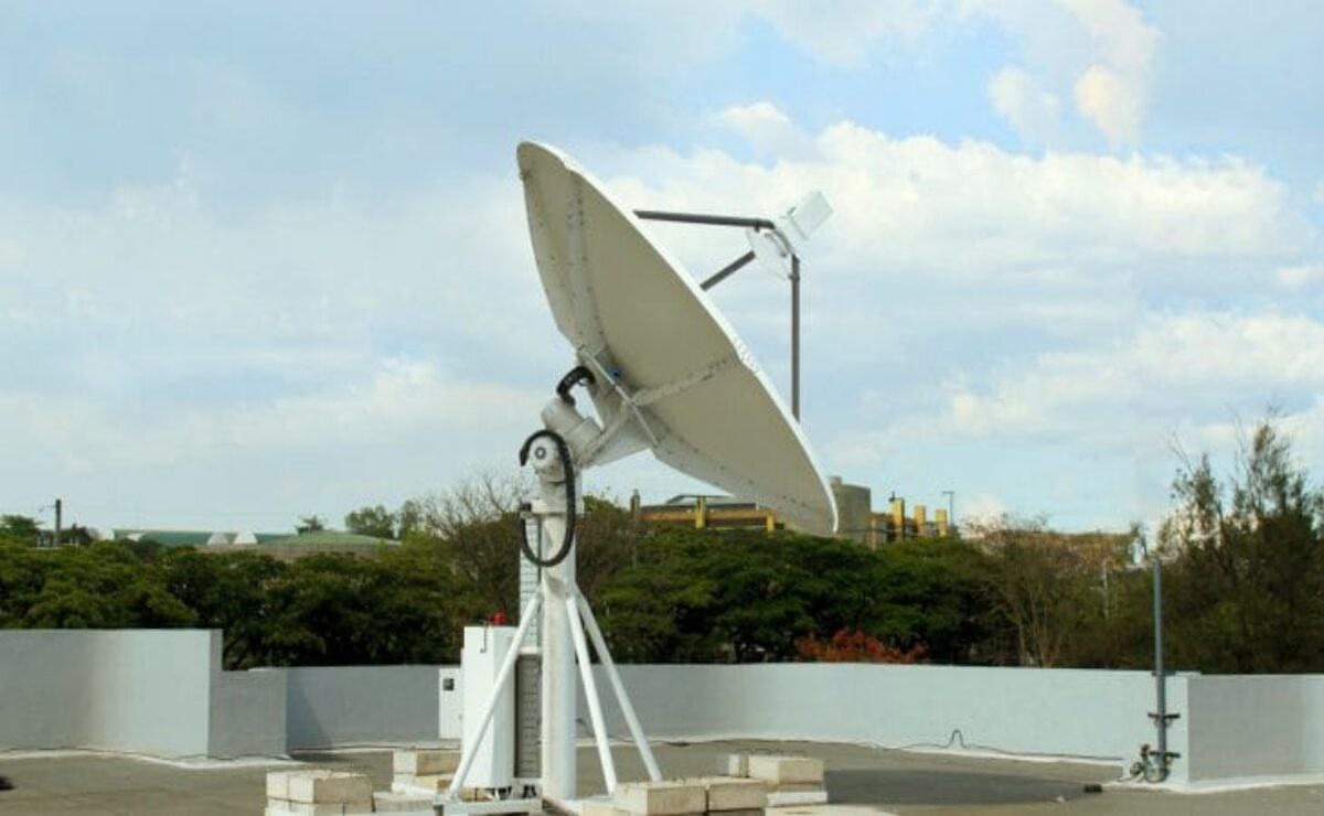
One technology being used for this is Synthetic Aperture Radar (SAR). Unlike ordinary optical cameras, SAR can capture information even when clouds block the view and during nighttime.
PhilSA, for instance, used Sentinel-1 SAR satellite data to map flood-affected areas in Mindanao following Typhoon Inday in July 2026.
The advantage is simple: when people on the ground cannot see the full extent of a disaster, satellites can provide the bigger picture.
3. Satellites are looking at farms, too
Space technology may not be the first thing that comes to mind when thinking about rice, onions or cabbages. But satellites are increasingly becoming another set of eyes over Philippine farms.
The Department of Agriculture and PhilSA are working on using satellite data for crop monitoring, irrigation planning, flood assessment, fisheries management and climate resilience.
One example is DigitalAgri, a PhilSA project that uses satellite technology to monitor crops and farm-to-market roads. PhilSA also operates the CopPhil Crop Mapping Service, which uses satellite observations and field data to map agricultural areas.
The applications can become surprisingly specific. Following Mayon’s activity in May 2026, PhilSA produced a satellite-derived crop exposure map showing 1,039 hectares of rice and 191 hectares of other crops potentially affected by ashfall.
That means a satellite image can do more than show where a volcano’s ash went. It can help show what happened to the food growing below it.
4. Satellites can help bring connectivity beyond the reach of cables
The Philippines has a connectivity problem that is partly geographic: thousands of islands, remote communities and areas where building conventional telecommunications infrastructure can be difficult.
This is where satellite communications come in.
Instead of relying entirely on fiber cables or cell towers on the ground, satellite systems can send data between users and infrastructure in orbit. That makes them particularly useful as a potential connectivity option for geographically isolated communities and as backup communications during disasters.
PhilSA has identified satellite connectivity as one application of the country’s space capabilities, particularly for underserved and geographically isolated areas.
The technology is also moving beyond traditional satellite dishes. Satellite-to-device connectivity is being developed to allow compatible phones to connect directly with satellites in areas without conventional cellular coverage.
It won’t magically solve the Philippines’ internet problems cost, device compatibility and network capacity still matter. But when the nearest cell tower is far away or knocked out by a storm, having another route to communicate can make a difference.
5. The Philippines is no longer just looking at satellites, it is building them
For a long time, space technology sounded like something that belonged to countries with launch pads, astronauts and enormous budgets.
Then came Diwata-1.
Launched in 2016, Diwata-1 became the Philippines’ first Filipino-built satellite and marked a major step in the country’s effort to develop its own space technology. Its successor, Diwata-2, has since been used for Earth observation and applications involving agriculture, environmental monitoring and disaster assessment.
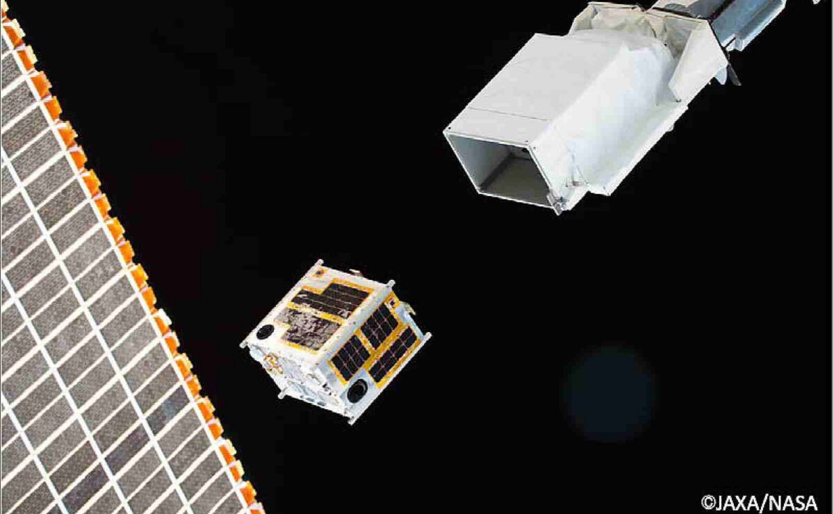
And the country’s satellite ambitions are continuing.
PhilSA says the Multispectral Unit for Land Assessment (MULA) is the Philippines’ most advanced satellite to date, with a target launch in April 2027. The satellite is designed to provide higher-resolution Earth-observation data for applications including agriculture, disaster risk reduction, environmental monitoring and maritime concerns.
In other words, the Philippines is slowly moving from simply using information from space to building more of the technology that collects it.
Space may still be far above us. But increasingly, the information coming from it is being used for problems much closer to home.
RELATED STORY: Filipino teens win 4 medals in int’l AI Olympiad


