Satellite technology takes root in Philippine farms
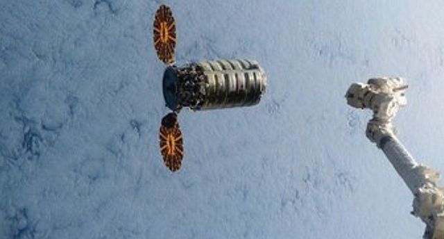
Diwata-1, which is one of the cargoes of Cygnus cargo ship that arrived at the International Space Station yesterday (NASA via AP)
The Department of Agriculture (DA) is fully embracing satellite technology, with data generated from hundreds of kilometers up, to help address matters that affect food production down on the ground.
The DA is doing so as the first Philippine-assembled micro-satellite which was launched last March awaits deployment from the International Space Station.
Called Diwata-1, the micro-satellite is expected to help the country’s efforts to enhance and promote agricultural productivity, among other applications.
Through a partnership with the International Rice Research Institute, the DA has been harnessing the latest technology such as remote sensing, crop modeling, cloud computing, and smartphone-based surveys to boost what—for most Filipinos—is seen as a decidedly low-tech agriculture sector.
The team-up with IRRI initially provides for the development and implementation of the PRISM Philippine Rice Information System (Prism) until 2017.
Earlier this year, the DA announced it would continue beyond 2017 the Prism program, which is considered a pioneering achievement as the Philippines is the first country in Southeast Asia to have such an operational system.
Alice Laborte, IRRI’s project leader for Prism, says the DA will own, operate and sustain the rice information system starting 2018.
“This will complement existing systems in the DA that guide strategy and interventions for food security at national and regional levels,” Laborte says.
“Infrastructure, including resources and personnel, have been mobilized and PhilRice (Philippine Rice Research Institute, a DA-attached agency) will be able to set up the Prism unit,” she adds. “This will be the center for all Prism operations, processes and maintenance.”
PhilRice executive director Calixto Protacio says Prism has been helping the Philippines monitor rice production as well as prepare for and mitigate the effects of disasters to rice areas such as typhoons and El Niño.
The PhilRice chief said this monitoring and information system had been generating timely seasonal data on rice areas and yield, and assessment of crop health and damage in the event of typhoons, flood or drought.
“Advancing information technology can lead to timely and crucial information on which farmers and other stakeholders can base their decisions, surely leading to competitiveness in the rice supply chain,” Protacio says.
Prism is one of several projects under the Food Staples Sufficiency Program. The DA’s National Rice Program provides funding for Prism’s development and implementation, which the Bureau of Agricultural Research monitors.
Jimmy Quilang, Prism project leader at PhilRice, says the system enables a better, faster and accurate assessment of rice areas, yield estimates, and forecast through the power of remote sensing—all despite the various locations, planting dates and effects of extreme weather events.
Quilang adds that Prism-generated information can help decision-makers to act immediately and implement adjustments and improvement on food security plans.
According to IRRI’s Laborte, the system particularly uses high-resolution Synthetic Aperture Radar imagery acquired throughout the rice growing season.
For the 2014 and 2015 cropping seasons, Prism used 443 satellite images acquired from third-party providers and used in rice area mapping and damage assessment.
According to IRRI, some of these images were used to map flood-affected parts of Nueva Ecija that were ravaged by Typhoon “Lando,” as well as to assess drought-affected areas in Mindanao due to the El Niño.
PhilRice’s Protacio says Prism will be a valuable tool for food self-sufficiency because agriculture planners can now pinpoint areas where development is needed.
“For example, we can see which communities have very low yields, map these out, and then target them or provide support to these communities,” he says.
“We have an average yield of four tons per hectare, but the others are just averaging maybe one ton,” he adds. “So if we know where these are, then we can better target these communities and give them the support needed.”